

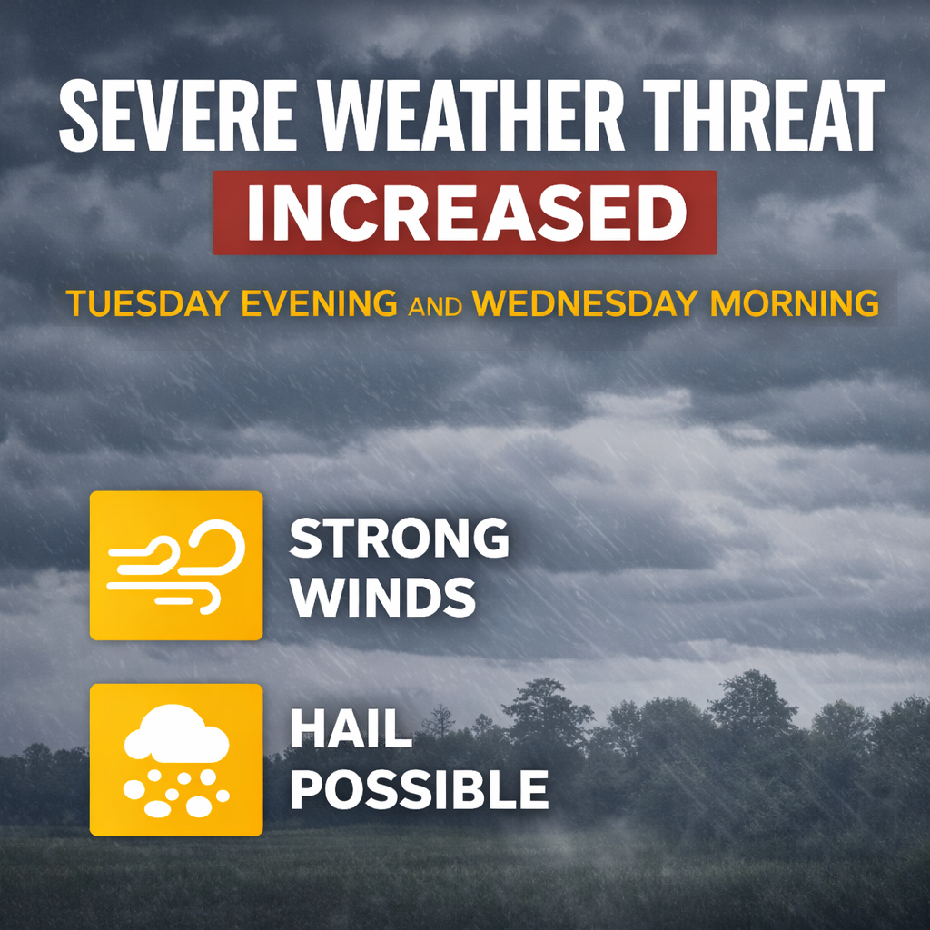
(FORT WAYNE) - Forecasters say the threat for severe weather has increased slightly across northern Indiana and northwest Ohio for Tuesday evening into early Wednesday morning.
Meteorologists say the main threats are expected to be strong winds and large hail, though tornadoes remain possible.
Current outlooks indicate about a 5 to 9 percent chance of a tornado occurring within 25 miles of any given location in the region during the storm period.
The highest risk window locally runs from about 8 p.m. Tuesday through 4 a.m. Wednesday, though storms could develop outside of that timeframe.
Residents are encouraged to stay weather aware Tuesday night and keep alerts enabled in case warnings are issued.